
by Art Kilgour
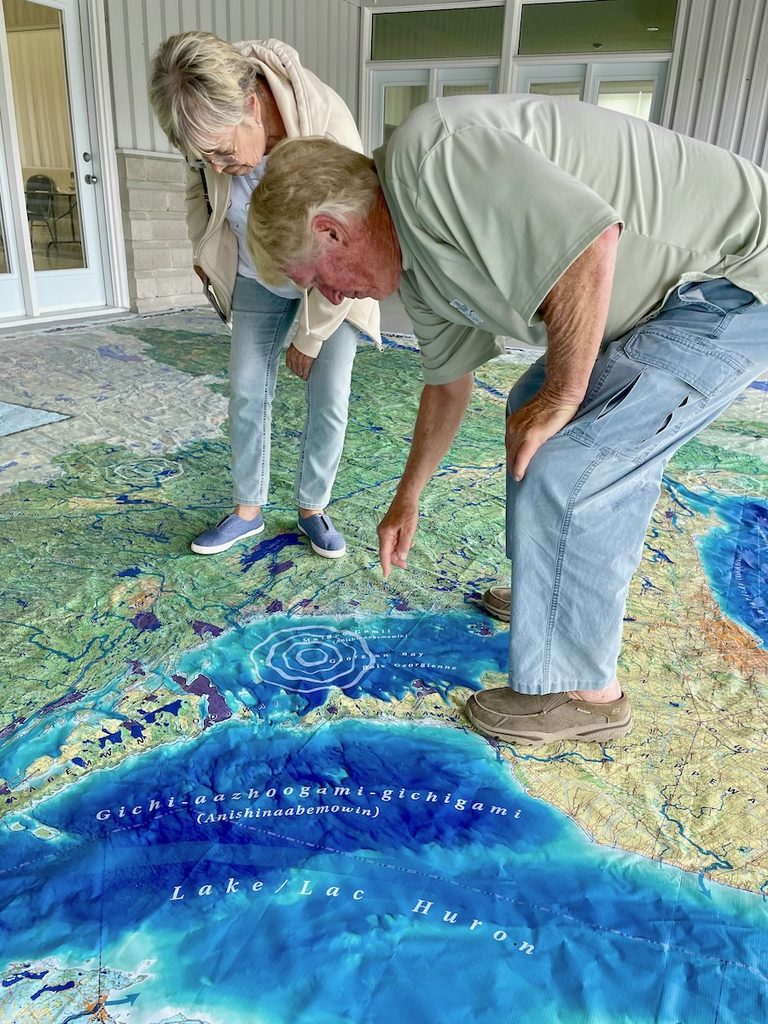
Do you ever wonder how our islands and waterways got their names? Bayfield, Nares, Parry, Alexander and Charles were all associated with the early 19th century British Admiralty. But those names either displaced original First Nations names, or they now co-exist with traditional Ojibwe names like Shawanaga, Naiscoutaing, and Magnetawan. Here’s a handy guide to our local place names, their origins and meanings. It’s a rich story, and one that is still evolving.
Before Pointe au Baril there was Gaa-biiyong
I spoke with Marilyn Capreol (photo above), a First Nations elder who was raised in Pointe au Baril, about the original names of the places we know. She is Anishinaabe, a broad First Nations group who occupied the entire Great Lakes watershed, of which the Ojibwe are a subset. (Anishinaabe means “people born out of nothing,” according to historian Basil Johnston; the plural form is Anishinabek.)
Capreol, 77, was born on an island just south of the Ojibway Club in Pointe au Baril and is connected to the Shawanaga reserve on the mainland. She now lives on a rural property on Hwy. 124 just east of Parry Sound, and summers at an island in Shawanaga Inlet. I first heard her speak in an inclusive ceremony at the Canada 150 gathering in 2017, at the Pointe au Baril Community Centre.
She told me that Pointe au Baril replaced an existing Ojibwe name, Gaa-biiyong, meaning “place of the narrows,” referring to the tight rocky channels between the outer Georgian Bay islands. That name was recently revived to identify the community garden outside the Community Centre.
The Shawanaga story
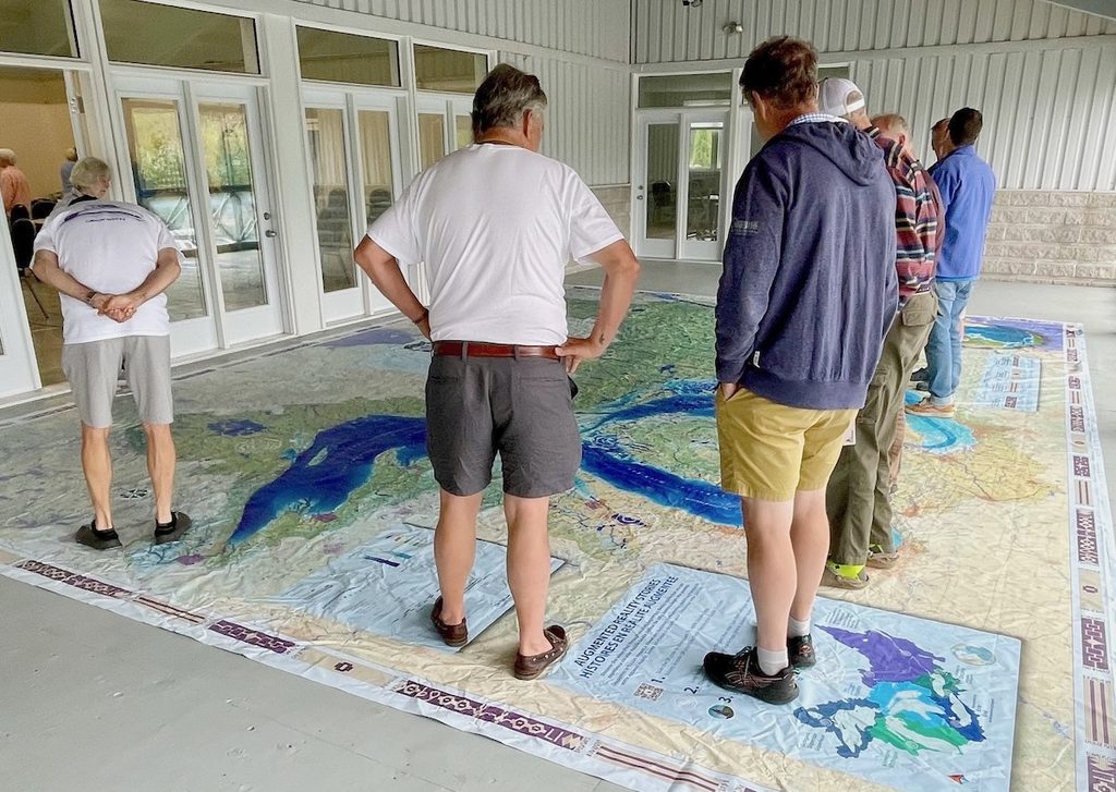
Capreol says that in her Ojibwe language, Shawanaga is not pronounced with four syllables, but rather as SHAW-na-ga, a simpler three-syllable word. What does it mean?
“It’s the softness of the water meeting the shore,” she says, “the sound of our language, gentle and aggressive, but also emotional.”
Capreol notes that the Shawanaga First Nation also includes the Naiscoutaing reserve land just north of Bayfield Inlet, on the Naiscoot River.
That’s also an Ojibwe word, which, like Shawanaga, existed orally before Europeans arrived, and was then phonetically written down in English, modifying the original pronunciation, but not entirely displacing the original name.
The concept of Naiscoutaing relates to the wild rice that grew at the mouth of the river, says Capreol: “It means, the way to the river garden.”
The spirit of the water
We’ve gradually become familiar with another Ojibwe word that names the big lake we all enjoy: Mnidoo-gamii (pronounced Muh-NIH-doh GAH-mee). It was used for all of Lake Huron (the Anishinabek did not distinguish Georgian Bay separately).
“It means, the spirit of the water,” says Capreol. She supported its inclusion into the official title of the “Georgian Bay Mnidoo Gamii Biosphere” a few years ago.
Long before Samuel de Champlain used the Rivière des Français to paddle into Lake Huron, it was a major travel route for First Nations peoples. It became known as French River, but the Ojibwe called it as Amik-Ziibii, says Capreol, meaning, “beaver in moving water.”
Why Bayfield Inlet?
After the Napoleonic Wars in Europe and the War of 1812 in North America, the British realized they needed proper navigational charts of the Great Lakes, for defence purposes first, and for safe transportation later. They had just the man for the job.
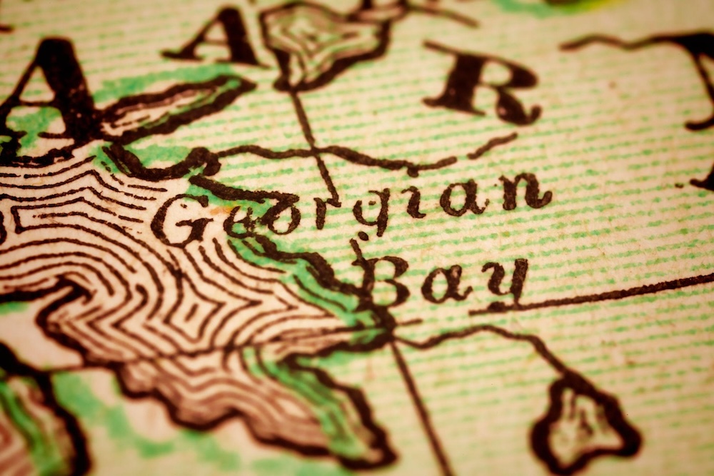
Henry Bayfield was born in 1795, in Hull, England. At the age of 22, he was handed the task of surveying Lake Huron. Charting its myriad passageways, harbours and islands and sounding its depths took four years (1819–1822). King George IV ascended to the throne in 1820, and Bayfield named the lake’s rugged eastern shore after him: Georgian Bay.
His work was immensely challenging, because it was done from two shallow open boats, about 20 feet long, powered by both sails and oars. He had 16 men in each boat, including French voyageurs and First Nations guides.
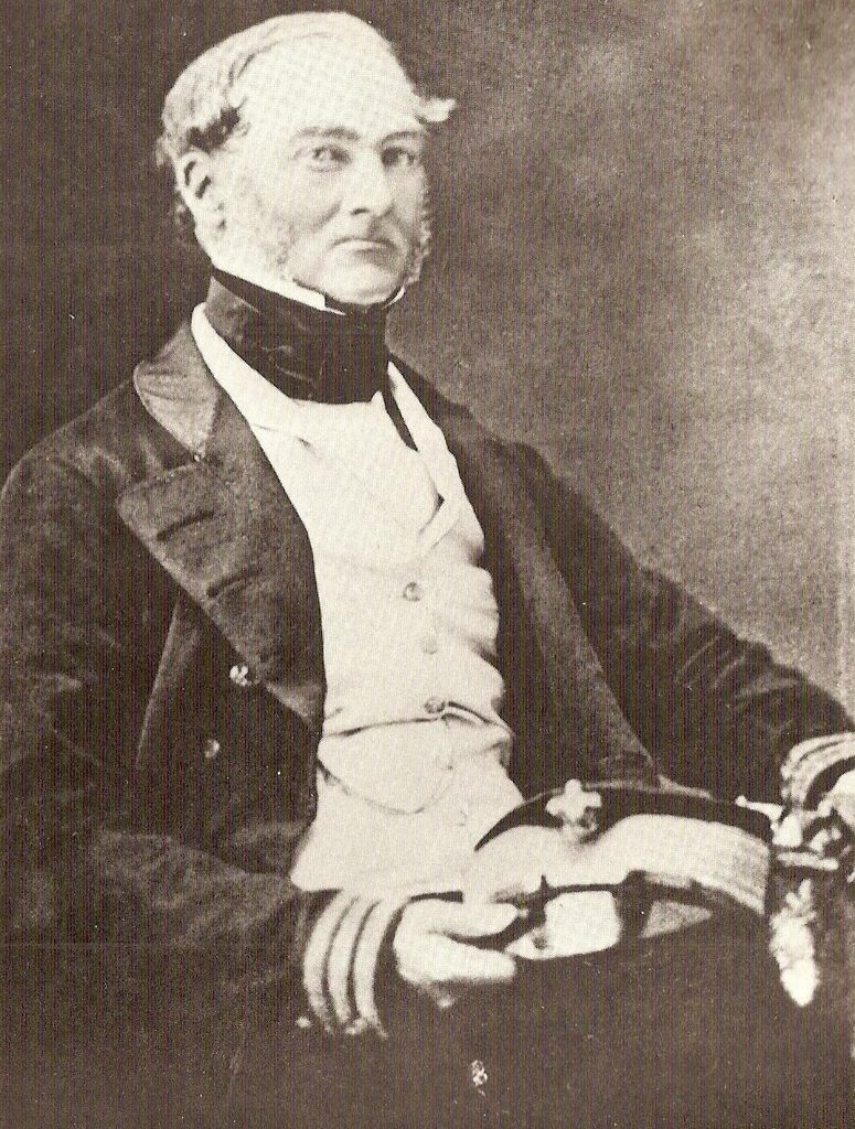
After freeze-up, Bayfield and his men retreated to Penetanguishene (another Ojibwe-origin name, meaning, “land of white rolling sands”) and spent the winters drafting nautical charts from the data and sketches they’d collected on the water, then sent them back to Britain.
He named the main west-east straight in Bayfield, Alexander Passage, probably for a naval colleague or possibly for a member of the royal family. Charles Inlet, just north of Bayfield Inlet, was likely named in a similar way. Our inlet, and another Lake Huron town in southern Ontario, were both named after the hydrographic surveyor, along with a main street in Barrie plus various locations in the Maritimes and New England, where he also surveyed in his long career. He lived to the age of 90.
Why Nares Inlet, and Parry Sound?
These two locations are named after a pair of 19th century British explorers — George Nares and William Parry — although neither man ever visited Georgian Bay. Instead, both led naval expeditions to the Arctic (now Nunavut), one before and one after the ill-fated John Franklin expedition.
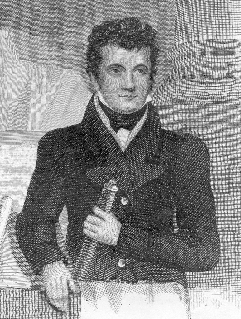
Parry was a contemporary of Bayfield, born in 1790, also in England. While Bayfield was surveying Lake Huron, Parry was leading his first Arctic expedition (1819–1820). Between then and 1825, he made four more Arctic voyages in converted naval warships. As a result, a major section of the northwest passage (Parry Channel) also bears his name.
At this exact same time, John Franklin was exploring the Arctic coast of North America (1819–22). But he is better-known for his northwest passage expedition of 1845, when his two ships became trapped in the ice, and his whole 129-member crew perished.
The British gave up on their quest for a northwest passage after the Franklin fiasco, but in 1875–76, George Nares led an attempt to reach the North Pole. His crew sailed and then walked on sea ice to 82º north latitude (a record for the era).
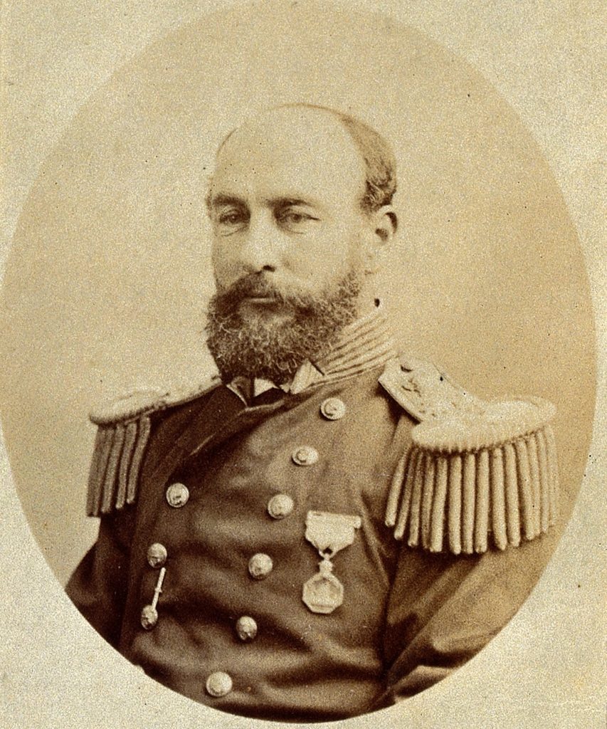
In doing so, Nares confirmed that Greenland is an island (the largest in the world), separated from Ellesmere Island by what is now called Nares Straight, which connects the Atlantic to the Arctic ocean.
So, in the 19th century, British naval officers and Arctic explorers were often commemorated in Canadian waters as part of imperial mapping. That’s how both Nares Inlet and Parry Sound got their names — not because either man had any historical connection to Georgian Bay!
About 20 years ago, the Parry Island First Nation reverted to its traditional Ojibwe name, Wasauksing First Nation, meaning, “the place that shines brightly.”
Shebeshekong and Ba Sa Gim
There are two other traditional Ojibwe names that appear on highway signs as we approach Pointe au Baril: Shebeshekong is a river and lake to the south of Shawanaga and is also the name of the main road through Shawanaga. According to Capreol, it means “replenishing the medicine beds,” in reference to the way the river carries nutrients to the lake.
And the name Ba Sa Gim Road (which runs east from Hwy. 69 near the new Shawanaga gas station) makes Capreol giggle, because she believes it means “Lover’s Road,” in reference to the ardour of young lovers. •
Here’s a comparison of the differences between how European colonists and Anishinabek peoples named the Lake Huron landscape (from ChatGPT).
| Colonial Naming | Anishinabek Naming |
| Honours monarchs or naval officers | Reflects spirit, ecology, or lived relationship |
| Fixed to charts | Embedded in story and use |
| Emphasizes control and navigation | Emphasizes kinship and meaning |